
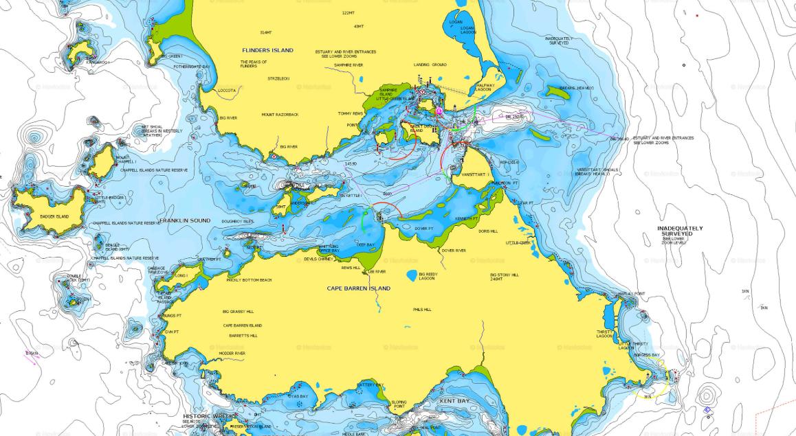
Navigating the open waters requires more than just a compass and a good sense of direction. Whether you’re a seasoned sailor or a novice heading out for the first time, having marine maps on board is essential for a safe and efficient journey. These maps provide crucial information about water depths, hazards, and navigational markers, ensuring you stay on course and avoid unexpected dangers.
Here’s why marine maps are a must-have before you set sail.
1. Ensures Safe Navigation
The ocean is unpredictable, and even the most familiar waters can present hidden challenges. Marine maps provide detailed information about underwater topography, submerged obstacles, and shipping lanes. By using them, you can avoid running aground on shallow reefs, sandbanks, or rocky outcrops that could damage your vessel.
2. Helps You Plan Your Route Efficiently
Proper route planning is essential for conserving fuel, estimating travel time, and ensuring a smooth voyage. Marine maps outline the best navigation paths, helping you choose the safest and most efficient route to your destination. This is particularly important for longer trips where fuel and provisions must be carefully managed.
3. Identifies Key Landmarks and Navigational Aids
Lighthouses, buoys, and beacons are essential for maritime navigation. Marine maps indicate their exact locations, ensuring you can rely on these markers to confirm your position. When visibility is low due to fog or heavy rain, knowing the placement of these aids can prevent disorientation and improve your overall safety on the water.
4. Provides Vital Depth Information
Not all waters are suitable for all vessels. Depth variations can pose a significant risk, especially for larger boats or those unfamiliar with a particular area. Marine maps provide precise depth readings, allowing you to navigate confidently without the risk of grounding in shallow waters.
5. Assists in Emergency Situations
Emergencies at sea require quick thinking and accurate location awareness. If you need to call for assistance, having a marine map allows you to provide rescue teams with your exact coordinates. Additionally, these maps often highlight emergency docking locations and safe anchor points in case of sudden storms or mechanical failures.
6. Complements Modern Navigation Technology
While GPS and electronic navigation systems are invaluable, they are not foolproof. Technical failures, battery depletion, or poor satellite signals can leave you stranded. Having marine charts as a backup ensures you always have a reliable navigation tool, even if your electronic devices fail.
Before setting sail, always ensure you have up-to-date marine maps on hand. They not only enhance your navigation skills but also provide a crucial safety net, helping you avoid hazards, plan your journey, and react efficiently in emergencies.


